
West Deptford Neighbors by Parcel
A block search in West Deptford works when each source is given its proper job. The parcel map defines the lots that touch or sit across a public way from the target address. Assessment records identify the assessed owner, mailing address, block, lot, and tax fields. The County Clerk land index documents transfers and legal descriptions. Election information can supply district geography and limited public registration information. Historical surveys may supply a prior land context. None of those sources is a complete household list.
| Source | What It Shows About a Block | Access |
|---|---|---|
| Gloucester County ArcGIS | Parcel shapes, map context, and possible parcel identifiers around the selected address. | Public interactive viewer; exact controls and popup fields need live inspection. |
| County assessment records | Assessed owner, mailing address, block, lot, situs, and tax information. | County-linked service with county office fallback. |
| County Clerk land records | Recorded deed parties, legal descriptions, maps, plats, and covered images. | Free online search for covered material; older work may require the counter or GCHS. |
| Voter and election records | Individual registration status and election geography where lawfully public. | State portal and county election office; protected data is withheld. |
| GCHS private surveys | Historic adjacent properties, waterways, landmarks, and building footprints. | In-person research using the Every-Name and Place Index. |
| Community contacts | Published organization contact details, not a household directory. | Only where an organization voluntarily publishes a contact page. |
The key distinction is owner versus occupant. A tax mailing address can belong to an owner who lives elsewhere, and a parcel record normally does not list renters or other household members. A voter, deed party, licensee, or organization contact likewise is not automatically a person who lives on the parcel.
Map a West Deptford Block
Use a parcel-first process for one West Deptford address. The county's GIS material is the spatial bridge between the street number and the county records that identify a parcel. A road name, ZIP Code, or election district can cross boundaries, so it is not a reliable substitute for the parcel edge. Map lines also need a careful reading. A lot across a drainage corridor, road, or tax-map gap may look close while not being the adjoining parcel that the legal description describes.
- Search or pan to the address in the ArcGIS viewer. Select the target polygon and write down the parcel identifier, block, or lot only if the live display supplies it.
- Click each contiguous polygon around the parcel. If the live viewer exposes a select, buffer, or measure control, use it only to define the area, then verify each parcel individually.
- Open the assessment record for each confirmed parcel. Keep the situs address, assessed owner, mailing address, and tax year separate in your notes.
- Use the owner name and legal description in the land index to check the recorded deed, subdivision, or map. For a full named-street chain, use the West Deptford street records route rather than extending a block search into a streetwide list.
That sequence has a modest but useful goal: establish which public parcels surround the target and which recorded owners belong to those parcels. It does not establish who occupies every building, who receives deliveries there, or who should be contacted.
West Deptford Neighbor GIS Check
The county GIS page identifies a public ArcGIS viewer and points to aerial orthophotography and hydrology sources through NJDEP and NJGIN. For a West Deptford block, start with an address search or a map pan, click the parcel polygon, then follow any assessment connection the live popup displays. The research did not expose the exact ArcGIS layer names, popup fields, or buffer behavior, so those labels should not be guessed. A screenshot showing adjacent polygons is useful context, but a visible boundary is not a household boundary.
The assessment result supplies the document bridge. Its documented fields can include owner name, situs location, mailing address, block and lot, municipality, tax year, land and improvement assessments, tax class, and exemptions or deductions. Exemption information is a tax classification signal, not proof that an owner lives on the parcel. When the map and assessment result disagree, preserve both and ask the county office which record controls the issue being checked.
Note: The county GIS and assessment tools should establish parcel context before any deed or voter record is used to test a name.
West Deptford Election Geography
Election geography can orient a West Deptford block, but it cannot furnish a complete neighbor list. The county reports polling locations that include Thorofare Fire House, Riverwinds Community Center, West Deptford Free Public Library, and Greenfields Fire Hall for different districts. Those sites show why the same street or ZIP can fall into more than one election area. The official state portal is designed around individual status, registration, and polling information, not a public bulk household search.
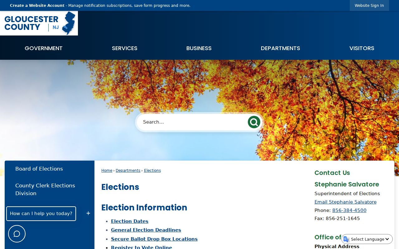
The Gloucester County Elections page is the official local route for polling and election-service information. It also points to the county election structure that handles requests and list-maintenance questions.
Public voter materials may be subject to OPRA, but signatures, Social Security numbers, driver-license information, and protected-voter details are withheld. Ballot choices are never public, and a status record does not establish everyone who lives at the nearby address.
West Deptford Community Directory Limits
No official West Deptford neighborhood-association or umbrella roster was located in the research. That absence matters more than a generic list of group names. The township has public civic bodies such as the Township Committee, planning and zoning boards, environmental and recreation bodies, fire companies, library, and public-safety organizations. Their meeting records can show public participation, but they are not a residential roll. A block watch, congregation, club, or HOA may choose to publish a contact page, yet a member roster is generally private.
| Documented community layer | What is available | What is not established |
|---|---|---|
| West Deptford civic bodies | Public meetings, minutes, boards, and organization roles where published by the township. | A directory of every household or member. |
| County business/resource directory | Local organization and contact references. | A verified HOA or neighborhood membership roster. |
| Voluntary organization pages | Any contact details the group itself chooses to make public. | Permission to infer that all nearby households belong to the group. |
| Library and GCHS collections | Historical newspapers, family files, surveys, and other local history leads. | A current community contact list. |
If a group is relevant, use its published contact method or the township's public meeting record. Do not copy names from meeting attendance into a list of local residents, and do not assume that an unlisted group has a public roster.
GCHS Surveys for West Deptford Blocks
The Gloucester County Historical Society offers a rare block-history source: private property surveys with an Every-Name and Place Index. The society describes surveys that can include adjacent properties, waterways, schools, churches, landmarks, and building footprints. That makes them useful when a modern number did not yet exist or a legal description changed after a subdivision. They are historical context, not a current neighbor roster.
The GCHS holdings page also documents original county records, city directories, telephone books, newspapers, probate, family files, maps, and photographs. Its newspaper collection reaches from 1819 to the present in the society's description, and many papers are not digitized. Use a dated survey or paper item to form a question, then test the name and parcel through deeds, probate, census, or directory evidence.
This historical layer can explain why a direct address search fails. The research notes that older deeds may require a lot, block, subdivision, road, creek, surveyor, or adjoining-owner clue instead of a modern house number.
West Deptford Neighbor Tool Comparison
Official records and commercial compiled tools serve very different purposes. An official parcel record comes from the county custodian and can be checked against a deed. A commercial neighbor tool may combine assessment, directory, license, and historical material into one presentation. That can make a broad lead easier to read, but it also raises the chance that names are merged, addresses lag behind a move, or a property owner is shown as an occupant. For a West Deptford block question, use the compiled category only as a prompt to verify the public record.
| Category | Best use | Limit |
|---|---|---|
| Official parcel, assessment, and deed records | Confirm the public parcel, assessed owner, and recorded transfer trail. | They do not identify every resident or prove occupancy. |
| Election information | Understand public registration status and district geography where authorized. | It is not a current household roster and ballot choices are private. |
| Commercial compiled tools | Generate a lead that can be tested with an official custodian. | They may be stale, incomplete, costly, or merge same-name people. |
The comparison favors the record with a date, a custodian, and a clear field meaning. A block question deserves the same care as any other name-and-address question, especially when the source cannot distinguish a mailed tax address from a home's situs address.
West Deptford Protected Address Rules
Some West Deptford addresses will not follow the ordinary parcel trail. New Jersey's Address Confidentiality Program provides a legal substitute address and mail forwarding for eligible participants. It cannot erase an address already recorded, but public agencies must accept the substitute address and the program protects future exposure within its rules.
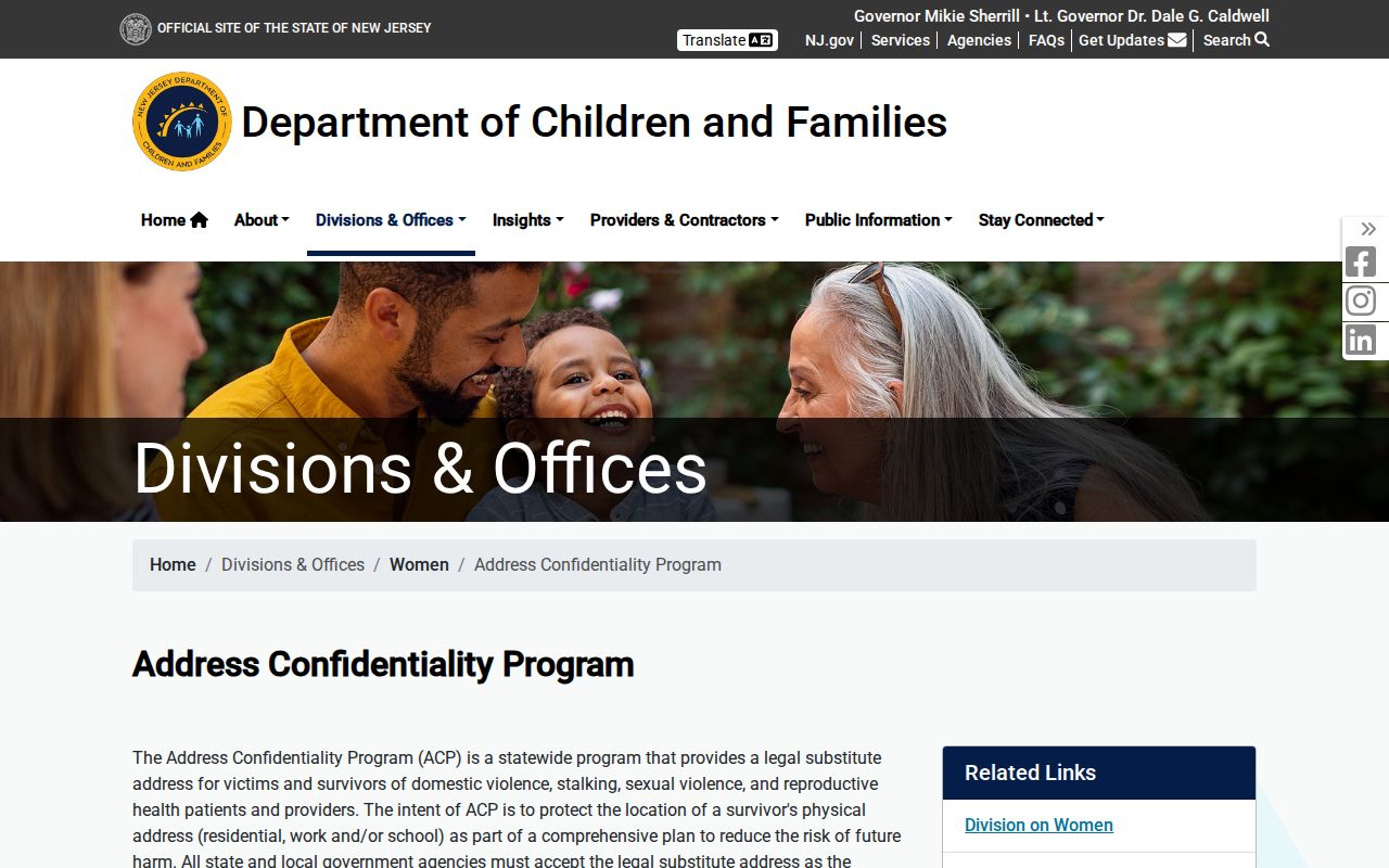
The program's records are confidential except for the stated court-order or legitimate law-enforcement exceptions. An absent, substitute, or redacted address is not an invitation to search around the protection through unrelated records.
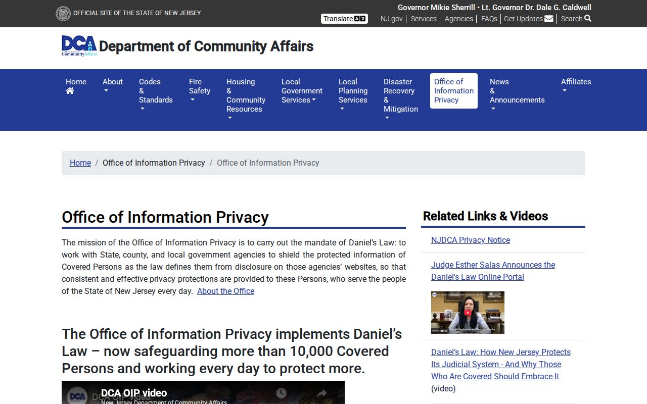
Daniel's Law supplies another limit. The New Jersey Office of Information Privacy explains protections for covered active and retired judges, law-enforcement officers, prosecutors, and immediate family. Gloucester County says documents can remain discoverable in indexing while protected images and physical pages are inaccessible to the public.
These programs explain a gap without turning it into a puzzle to defeat. Utility customers, delivery recipients, protected voters, renters, and many other household members also remain outside the public parcel chain.
West Deptford Neighbor Request Fallback
Some address-keyed records have no public search screen. West Deptford's public permit search was not located, so the documented path is a focused request through the township clerk or the relevant construction or zoning office. Give the exact address, block and lot when known, permit type, and date range. A permit or code file can supply work dates, applicant or owner information, inspection status, and a description of the record, but it is not a broad block directory.
For county-held material, New Jersey OPRA permits a written request to the right custodian. State the record type, street address, block or lot, date range, desired format, and whether inspection or copies are wanted. The county's official OPRA form warns that its submission is itself a public record and is generally answered within seven business days when the record is available, subject to the law's stated exceptions. When a record remains closed, respect the restriction rather than trying to fill the gap with an unverified name.