
Walk a West Deptford Street Directory
A street search in West Deptford works best as a parcel trail, not as a roster. The assessment record supplies the current situs address, owner name, block and lot, and any tax mailing address shown. The GIS map places that parcel on its actual street segment. The recorded deed then explains the transfer behind the owner name. A voter record or a historical directory can add a separate, dated clue, but neither converts the owner record into proof that every person in a home lives there. Keep each result tied to its record date and purpose.
- Enter the full address in the county assessment service and save the situs address, owner, block, lot, and assessment year.
- Locate the same parcel in Gloucester County GIS, then check that the parcel boundary matches the street segment in question.
- Use the block and lot, legal description, and owner name to find the purchase deed in the County Clerk land index.
- Read the deed for the prior grantor, recording date, book or instrument number, and older legal-description clues.
- For a dated household clue, consult a permitted public voter source or a regional reverse directory at the historical collection.
That order prevents a common mistake: treating a tax mailing address, a postal city, or a name in a transfer as the location of a current household. The address trail remains most reliable when the parcel is established first.
West Deptford Street Directory Fields
The county links its assessment-records service at taxrecords-nj.com. Its live form is JavaScript-driven, so the text review did not expose a complete list of search controls. The county describes an assessment record as the first owner-and-parcel clue, rather than a household list. Start with the property location, and compare the result with the municipality and block-and-lot values before following a name. West Deptford is in the annual reassessment program for the 2027 tax year, so date any assessment result before relying on its value or review status.
| Assessment field | Format | Use on a street search | Research status |
|---|---|---|---|
| Owner name | Text or result | Lead to the purchase deed; test spelling variants. | County-described field |
| Property location or situs | Address | Identifies where the parcel sits. | County-described field |
| Mailing address | Display value | Shows tax correspondence, which may be elsewhere. | County-described field |
| Block and lot | Parcel identifier | Bridges GIS, tax maps, deeds, and older descriptions. | County-described field |
| Municipality | Dropdown or result | Confirm West Deptford within the countywide service. | Exact control not exposed |
| Tax year | Dropdown or result | Dates the assessment record. | Exact control not exposed |
| Land, improvement, total | Result fields | Assessment context only, not a sale-price finding. | County-described field |
Note: A mailing address can belong to an owner or representative and does not prove that person occupies the West Deptford parcel.
West Deptford Streets in County GIS
The Gloucester County GIS page leads to the county ArcGIS hub. Pan or search to the address, click the parcel polygon, note the identifier, and then inspect contiguous parcels one at a time. Parcel boundaries, rather than a ZIP code or road name, are the sound way to decide which lots adjoin one another. The county identifies NJDEP and NJGIN as sources for aerial imagery and hydrology, but a particular map layer should only be treated as available after it appears in the live viewer.
The county GIS landing page is shown below as the access point for the map tools.
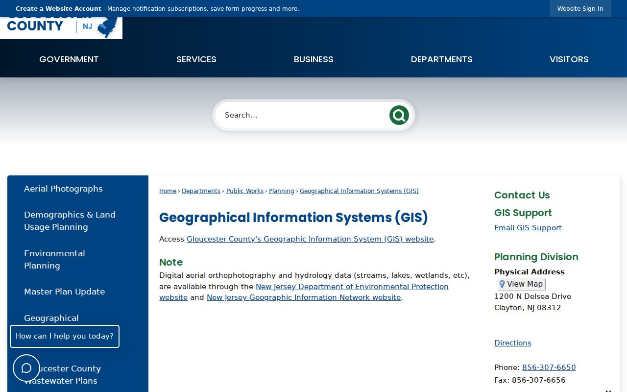
The landing page is a starting point, not proof of a parcel result. Confirm its parcel information against the assessment service and the Clerk record before making an address conclusion.
Interactive inspection is still needed for exact ArcGIS field labels, popup contents, and any select or buffer controls. That is a documented research gap, not a reason to assume a map control exists.
West Deptford Address Records Compared
Several West Deptford records use an address, but each reaches a different conclusion. The assessment record connects an owner to a parcel. GIS establishes the spatial relationship. The deed index documents transfers. A permit may date work at an address, while a directory can offer an older subscriber or occupant clue. Use the access route that matches the question, and preserve the record’s limits when recording a name.
| Address-keyed source | Primary keeper | Useful result | Access route |
|---|---|---|---|
| Assessment record | Gloucester County Assessor | Owner, mailing address, block/lot, assessment fields | County-linked portal or Clayton office |
| GIS parcel map | Gloucester County GIS | Parcel shape, adjacency, map context | ArcGIS viewer or Planning/GIS contact |
| Recorded land | Gloucester County Clerk | Grantor, grantee, legal description, transfer date | 20/20 portal or Record Room |
| Maps and plats | County Clerk and GCHS | Subdivision, lot division, adjoining-property clues | Online index from 1836 or in-person research |
| Voter material | State and county elections offices | Authorized public registration and election geography | State portal or county office |
| Permit or code file | Township custodian | Address, work, applicant, and dates if releasable | Counter or focused OPRA request |
| Directory or criss-cross volume | GCHS and library resources | Dated subscriber or occupant clue | In-person collection research |
Address records have no single public source for every household. Cross-check them with the correct temporal source, and describe only what each source actually shows.
The New Jersey Voter Information Portal is an individual registration-status route, not a public street roster. The Gloucester County elections office is the documented offline channel for lawful voter-file requests and record questions; protected voters and redacted fields remain outside an address search.
The Gloucester County ArcGIS hub illustrates why a parcel-first check matters.
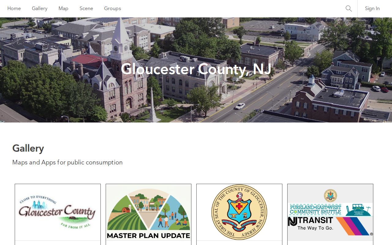
A visible parcel polygon can orient a street search, but the assessment record and recorded instrument remain the sources for owner and transfer details.
West Deptford Street Deed Bridge
Use the Gloucester County 20/20 Perfect Vision land-record search after the parcel has supplied a name or legal-description clue. Its Recorded Land area has Name, Recorder Date, Document, and Volume search modes; Maps, Trade Names, and UCC have their own name, date, and document routes. The county makes online searching, viewing, printing, and downloading free, although the portal may require pop-ups and PDF support. Search spelling variants and then inspect the image when one is available.
The land-record guide at Gloucester County Land Records is a useful companion to the live index.
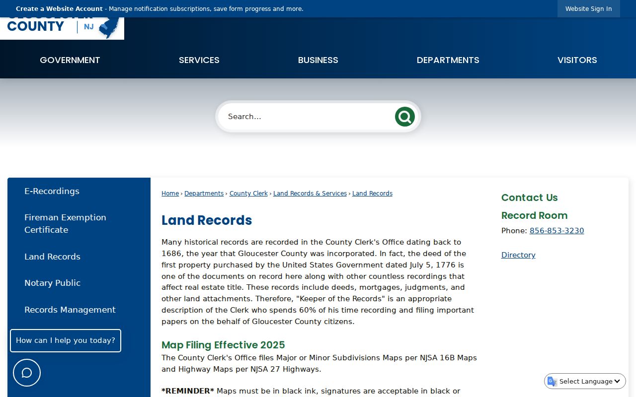
The guide supports the address-to-deed sequence, but the actual transfer details should be read in the index result and, when accessible, its linked image.
- Parcel
- A defined piece of land, commonly tied to a block and lot in county records.
- Situs address
- The location where the parcel sits, distinct from a tax mailing address.
- Plat
- A recorded map that can show lots, divisions, roads, or subdivision layout.
- Criss-cross directory
- A reverse directory arranged by address rather than surname, when a collection actually has one.
Note: A deed party may be an owner or transfer participant, not necessarily a person who currently resides at the street address.
West Deptford Street Permit Trail
Permit and code files can supply dates that the land chain does not. When releasable, a file may identify an applicant or owner, permit type, construction official, work description, issue date, close date, or contractor. Those details help date a change to the property, but they do not identify all people who occupied it. A sheriff-sale notice may also date a transfer, yet it is not a general resident record.
Research gap: no official West Deptford public permit-search interface or field list was located. The documented fallback is a focused request to the township clerk or the appropriate construction or zoning office. Provide the exact address, block and lot if known, permit type, and date range. A request under the New Jersey Open Public Records Act should be directed to the custodian holding the responsive record, with exempt information left to the custodian.
West Deptford Street Directory History
For an earlier household layer, the Gloucester County Historical Society in Woodbury holds city directories, telephone books, local newspapers, deeds, maps, and private surveys. Ask for the exact regional directory or reverse volume, then read the publisher’s abbreviation key before treating an entry as an owner, renter, spouse, or occupation record. The society’s private surveys can add adjacent properties, waterways, schools, churches, landmarks, and building footprints through an Every-Name and Place Index.
Directory dates and current parcel labels may not match. West Deptford, Thorofare, and other postal-community labels can occur in local material, so bridge the historic entry with a legal description, block and lot, map, or recorded deed. The West Deptford City Directory collection is the appropriate place to examine the historical shelves themselves.
Research gap: official online sources did not verify a West Deptford-specific reverse-directory title or uninterrupted directory years. Confirm the call number, edition, and address coverage with GCHS before treating a volume as a street directory.
West Deptford Street Records After 2016
Gloucester County’s online records do not share one start date. Deeds are indexed and imaged from 1959, mortgages from 1967, maps and plats from 1836, trade names from 1906, and miscellaneous filings from 1876. A blank online result can therefore mean that the instrument is outside that specific index or image range. Older handwritten deed books, maps, and historical material require the Record Room, GCHS, or the State Archives rather than a conclusion that no ownership history exists.
There is a second search caution. Effective October 1, 2016, recorded land instruments are not cross-indexed by party type in the county land-record system. For a West Deptford street search, do not rely only on a grantor or grantee filter. Test name variants, dates, document criteria, volume references, and legal-description clues, then compare the instrument itself.
Note: The map-and-plat index begins earlier than the computerized deed index and can bridge a missing modern street number or altered lot description.
West Deptford Deed Book Quirk
Old Gloucester references need a little care. The County Clerk’s land-record manual places the earliest deed book on November 12, 1784, after a 1786 Gloucester City fire and before the new courthouse opened in 1787. Its lettered deed-book run is not a simple alphabet: V, J, J3, and J4 were skipped because handwritten calligraphy could cause confusion. The sequence later continues with Deed Book 127.
This quirk matters when an old citation appears incomplete. The manual also says historical booking and paging can appear in the Prepared By or Remarks field. Match the cited book, page, party name, and legal description against the original volume or repository record instead of assuming a missing letter means a missing West Deptford deed.
Record access also changed over time. The manual identifies Unix/Foresight indexing from 1992 through June 2000, an AS/400 installation in July 2000, imaging from July 2000 through January 15, 2011, and the 20/20 workflow from January 18, 2011. These transitions explain why a modern image may be easy to retrieve while an older West Deptford street record needs the Record Room or historical repository.
West Deptford Street Directory Limits
Public address records do not produce a complete list of every person in a home. Renters, other household members, utility customers, delivery recipients, and people with protected addresses may not appear in the parcel or land chain. USPS confirms delivery geography, not a person. A property owner, deed party, business contact, licensee, or voter entry should not be represented as a current occupant without separate, lawful evidence.
New Jersey protects DMV information, limits vital records, and recognizes the Address Confidentiality Program and Daniel’s Law protections. Those safeguards can result in a redacted address, unavailable image, or no public result. The absence of a public entry is not evidence that someone does not live on a West Deptford street.
Lawful use. Use West Deptford street records for personal, lawful research, family history, property questions, or civic curiosity. Do not use a public record to stalk, harass, threaten, or intimidate another person.